Pilotage areas – Queensland
In Queensland there are 24 pilotage areas, 18 of those are compulsory. All vessels that are 50m and over in length must carry either:
- a licenced marine pilot, or
- be under the command of a master who holds a Pilotage Exemption Certificate for the area.
View the pilotage page for more information.
Pilotage location map
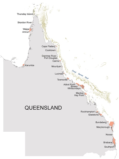
Click on the relevant location on the map to go to a description of the pilotage area.
Pilotage area list
Each pilotage area listed, provides details about the areas latitude and longitude coordinates, chartlets and pilotage compulsory status.